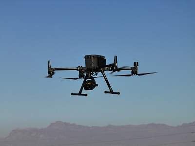

Drone based aerial imaging for a variety of industries including construction, infrastructure, and agriculture. We utilize cutting-edge drone technology equipped with LiDAR, high-resolution photogrammetry, and thermal imaging to capture data with elevated accuracy, speed, and efficiency.

| Link to details | Visit Link Here |
|---|---|
| arktekdrones@gmail.com | |
| Phone | 480-851-2220 |
| Country | United States |
| State | Arizona |
| Distance | 8,300 Kilometers |
| Address | 3105 N 71st ST Scottsdale, Arizona 85251 |
| Category | Construction, Real Estate |
| Keywords |